

One of the more remote airports in the state, Garberville Airport (O16) is known for the steep terrain on all sides of the field, making it a challenge to plan a proper descent from pattern altitude to the runway. Pilots should plan on circling over Garberville as part of their descent, taking note of the terrain and wind conditions as they fly towards pattern altitude. Keeping the pattern tight is required due to the mountains to the east of the airport, and pilots should be mindful of the hill on the approach end of Runway 18, which obstructs a normal approach. While landing on Runway 36 looks easier, be on the lookout for the mountains to the south, which you need to avoid as you turn back towards the runway. Following the river is a good option, as it will keep you away from high terrain. Regardless of which runway you use, make sure you know how to fly a short approach and use your flaps effectively to get down safely.
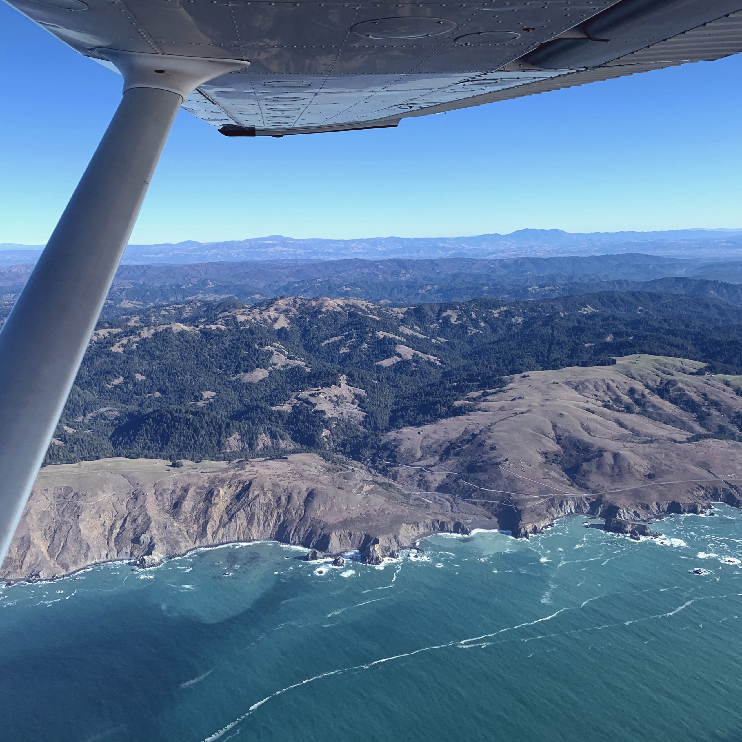
Garberville has fuel at the airport, and it is a great place to practice clearing obstacles in the airport environment. The flight into the airport is beautiful, as the surrounding trees and coast help serve as an impressive backdrop to the region. Choose to fly up either via Highway 101, where you view wineries, forests, and valleys, or the coast, which features incredible cliffs and shoreline. No matter how you get to Garberville, spend some time practicing mountain approaches before having a picnic lunch on the grass near the airport while taking in the mountain air.